
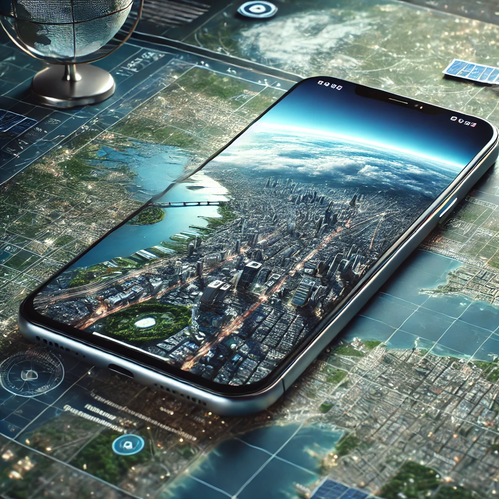
Seeing your own city from above, with its streets, blocks, and rooftops, is one of the most interesting things you can do for free on your cell phone. Before starting, however, it's worth clarifying an important point: No map app shows your city via live satellite view.. The images that appear in Google Earth, Google Maps, or Apple Maps are aerial and satellite photos captured on previous dates and updated from time to time—the interval usually varies from a few months to several years, depending on the region.
Knowing this, the trip is still very worthwhile. With these apps you can locate your home, measure distances, see what a neighborhood looked like ten years ago, plan a trip, and explore places on the other side of the world. In this article, we've gathered five free options available in official app stores, explained what each one does best, and shown, at the end, what is actually updated minute by minute: traffic and weather conditions.
Is there real-time satellite imagery available to view your house?
It doesn't exist, at least not for the general public and not with the clarity that would allow one to see a house. High-resolution images, those in which a car in a garage can be distinguished, come from commercial satellites and airplane overflights. Each capture is expensive, requires clear skies, and then undergoes lengthy processing before reaching the applications. That's why the platforms work with a collection that is renewed in parts: large cities tend to be re-photographed more frequently, and rural areas may remain with the same image for years.
What exists with almost immediate updates are meteorological satellite images, which show clouds, cold fronts, wildfires, and storms. Their resolution is hundreds of meters per pixel—great for monitoring the weather, impossible for identifying a residence. When a website promises "live satellite imagery of your street," it's either talking about this type of meteorological image or it's simply not being honest. Throughout the text, we make it clear what the source of each resource is.
Free apps to view your city via satellite
The following list features five real apps that can only be installed from official app stores — Google Play on Android and the App Store on iPhone. All are free for the uses described here. Each has a different strength, so it's worth trying more than one before choosing your favorite.
Google Earth
Google Earth is the most complete in its category. It brings together the largest collection of satellite images and aerial photographs available for free, allows you to tilt the view to see the terrain in three dimensions, and reconstructs buildings in 3D in already mapped cities. To find your house, simply type the address into the search bar and zoom in on the image to street level.
The most interesting feature is the image history, which works like a time machine: you can compare how the land looked in 2005, 2013, and in the most recent capture. Each image displays the date it was taken, which helps to understand exactly how old that photo is. It's the most transparent way to track the growth of a neighborhood or the progress of a construction project.

Google Maps
Google Maps is known for its navigation, but it offers the same collection of images as Google Earth in satellite mode. Simply tap the layers icon and choose "Satellite" to switch the drawn map for the real photograph. It's the quickest way to locate your home: search for the address, change the layer, and zoom in.
It also has Street View, which shows the facades of properties from photos taken by the company's own cars — another old image, with the date indicated in the corner of the screen. And here comes the app's only truly live feature: the traffic layer, fed in real time by the cell phones of those who are on the street at that moment. It's worth remembering that anyone can request the permanent blurring of their own house in Street View by using the "Report a problem" button.

Mapas, da Apple
iPhone users already have the Maps app installed, which also offers satellite view. In capital cities and some large cities, it displays Flyover mode, a highly detailed three-dimensional reconstruction where you can rotate around buildings and landmarks. Integration with the rest of the system makes searching for saved addresses very fast.
High-resolution image coverage is still lower than Google's in medium-sized Brazilian cities, so in some neighborhoods the sharpness may be disappointing. Since the app comes pre-installed on the device, testing it is free: if your area has good coverage, the visual quality is excellent. The app is exclusive to iOS and does not have an Android version.
Official listing on the App Store: Maps, by Apple.
HERE WeGo
HERE WeGo is a lightweight and straightforward alternative, with satellite-layer navigation, turn-by-turn directions, and public transport information in various cities. The interface is clean, without excessive features, which appeals to those who just want to see the map and get to their destination.
Its main advantage is the ability to download maps for offline use by country or entire region. Once downloaded, the map and routes work without internet access — useful for travel, roads with weak signal, or to save data. It's worth noting that the offline satellite layer is limited: without a connection, only the vector map is guaranteed.

MapQuest
One of the oldest map services on the internet, MapQuest remains active with its own app. It offers satellite mode, routes with stops, travel time estimates, and searches for nearby services such as gas stations and restaurants. Image coverage is stronger in the United States than in Brazil. The app appears on Google Play, but is not published in the Brazilian App Store — on iPhones, availability varies by country, so check the App Store to see if it appears for you; if it doesn't, Google Earth and Apple Maps cover the same need.
This serves as a second opinion: sometimes one platform has a more recent image of your street than another, precisely because they buy photos from different providers. Comparing two or three apps is the best trick to get the most up-to-date photo of your area.

What is actually being updated all the time?
Three pieces of information within these apps are, indeed, practically instantaneous. The first is traffic: the green, yellow, and red zones come from the average speed of cell phones circulating on the road, with a delay of only a few minutes. The second is public transportation in cities that share vehicle locations. The third is the weather, with meteorological satellite images updated every ten or fifteen minutes.
To follow clouds and rain almost live, there is the Windy.com on Google Play, which overlays weather images onto the map. In the browser, the Zoom Earth It displays the same family of images without requiring any installation. To reiterate: with this type of image, you see the storm that is over your city, never your house.
How to find your house step by step
Open your chosen app and type the full address into the search bar, including the house number and city. If you don't know the exact address, first look for a known landmark—a square, a school, a market—and scroll down until you reach the correct block. Then, activate the satellite layer and zoom in gradually, because the image loads in parts as you zoom in.
If the photo looks strange, showing an empty lot where a building already exists, it means the image is old. In Google Earth, use the image history to see other dates; in Google Maps, switch to Street View, which usually has records from different years. If you want to delve deeper into the subject, also see our guide on [topic]. How to view your house and city via satellite.
Common questions
De quanto em quanto tempo a imagem da minha rua é atualizada?
It depends on the region. Dense urban areas usually receive new images every one or two years; rural areas and small towns may go much longer without updates. The capture date appears in the footer of Google Earth and in Street View photos.
Consigo ver pessoas ou carros passando na hora?
No. The dots that appear in the images are cars and pedestrians that were there on the day the image was captured, months or years ago. Faces and license plates are automatically blurred.
Preciso pagar por algum desses aplicativos?
Not for the use described in this article. All can be installed and used for free from official stores. High-resolution commercial images and specific dates are sold by companies in the sector, but that's a different market, aimed at businesses.
Conclusion
Viewing your city via satellite on your cell phone is free, simple, and requires nothing more than installing an app from your device's official app store. What changes, compared to the common promise on the internet, is the expectation: you will see a high-quality photograph taken sometime in the recent past, not a live stream.
With that adjusted expectation, Google Earth is the best choice for exploring and comparing dates, Google Maps solves everyday problems and shows real-time traffic, Apple Maps shines in cities with Flyover, and HERE WeGo and MapQuest work well as alternatives — especially offline. Install, search for your address, and enjoy the view.